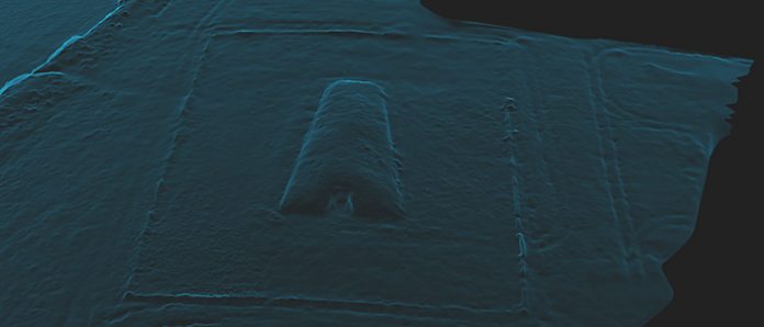
In theory, even a very minor archaeological site can now benefit from its very own aerial survey. But while the possibilities for archaeology are immensely exciting, many of the actual results are still disappointing; blurry aerial photos, images which may be pretty but which can’t be georeferenced and expensive cameras hitting the ground at terminal velocity.
Stephen Gray from the University of Bristol’s Department of Archaeology has written a much-needed good practice guide to conducting an archaeological survey using a UAV. The guide is the result of months of research and field work; it sets out a standard and safe approach which can be carried out using inexpensive equipment.
Although aimed at archaeology, elements of these guides will be of interest to anyone intending to use a UAV for surveying purposes.
The first guide focuses on the methodology of data capture and subsequent data management, rather than data processing and data preservation which is covered in Part Two.
Low-cost solutions and open technologies are given priority where they exist and are suitably mature.
Part One of the guide, produced in collaboration with Jisc, suggests good practice when collecting data.
http://www.jiscdigitalmedia.ac.uk/infokit/3d/uav-survey
Part Two is published by the Archaeology Data Service and is focused on the sharing and preservation of low-altitude aerial survey data.

