
")
An unusual archaeological survey by Forestry and Land Scotland has added a new chapter to an old story – of a hidden fort built by William Wallace.
The Dumfriesshire site is recorded in The New Statistical Account of Scotland (published 1834-1845) as the location of a small fort occupied by Sir William Wallace – a hidden stronghold from which Wallace and his 16 men-at-arms would ‘sally forth to annoy the English’.
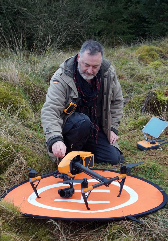
Under the direction of FLS archaeologist, Matt Ritchie, the fort was surveyed by Skyscape Survey, flying a drone over its massive earthen rampart and the promontory formed above the confluence of the Black Linn and the Tor Linn.
Matt said;
“In recent years we have been working with Skyscape Survey to develop the methodology of drone-generated photogrammetric survey, combining accurate survey methods with innovative visualisation techniques.
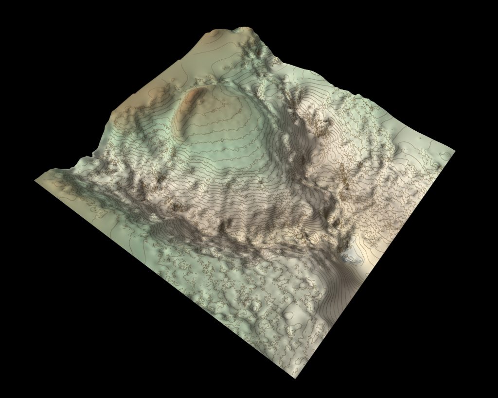
“Hundreds of photographs taken from the air by remote-controlled drone are stitched together using point-matching software to create a 3D terrain model, stripping away scrub and ground vegetation. Height detail is refined by adding close contours and orthographic colour.
“It’s a fascinating and revealing technique that really begins to open up the landscape and this seemed like an ideal site to investigate. There isn’t much evidence on the surface, but the rampart and topography matches the historic description very well.”
The Account, compiled using the responses to a questionnaire sent to every minister in Scotland, contains rich and detailed parish reports covering a vast range of topics including agriculture, education, trades, religion and social customs. The questionnaire also asked for evidence of historic ruins, remnants or artefacts found within their parishes. The Account describes –
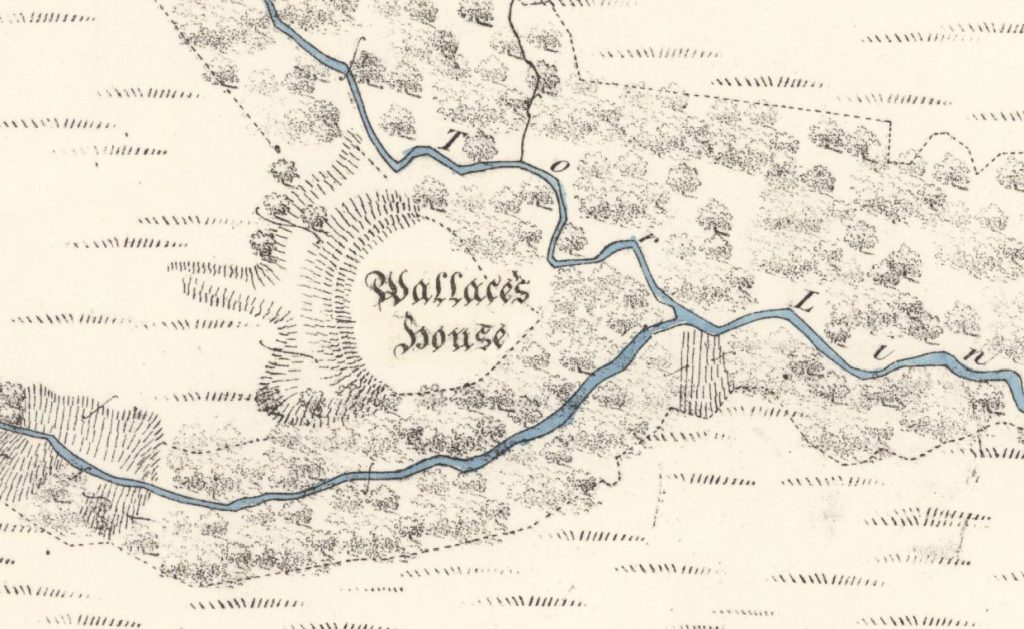
‘a small fort, commonly called Wallace’s House, adjoining Torlinn, a glen filled with natural oak… This fort commands an extensive view to the south, occupying the summit of an angle formed by the junction of two branches of that steep ravine; and being protected on its third side by a large fosse [or ditch], it must have been a strong place of defence. Sir William Wallace, while meditating the capture of the castle of Lochmaben in 1297, is said to have kept sixteen men there, with whom he sallied forth to annoy the English garrison under Greystock and Sir Hugh of Moreland.’
Matt added;
“The new contour model adds to a history of cartographic work that began with the Ordnance Survey in 1857. Our new 3D model enables the massive rampart of the fort to really stand out, and the deep gullies of the two linns to be appreciated.
“It must have been the ‘strong place of defence’ described by the Account, the rampart topped with a timber palisade and enclosing timber buildings built to house the soldiers and their horses. But could the fort really have been built by William Wallace and his men? I’d like to think so – and, either way, the survey has added a new chapter to an old story!”
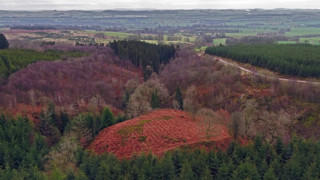
The glens around the site still contain ancient semi-natural woodlands that form a key part of an important habitat network. Rich in biodiversity with mature native Oak, Ash, Birch, Rowan, Alder, Willows and all the associated flora and fauna, FLS is working to restore the site to a native condition.
FLS Regional Environment Advisor, Bill Coombes, said:
“This is a site where ecological and heritage objectives come together to create a special place and it’s important that we look after it.
“Over the past six years our apprentices have been working to remove the non-native conifers from the two steep sided Linns which protect and create the promontory fort.
“We are increasing the area of native broadleaves that we plant along the riparian corridors and, by retaining deadwood on the site , are also looking to enhance the biodiversity.”